Our drive brought us through several different kinds of landscape and was different to the Rockies but just as spectacular in places and just as beautiful. From Clearwater to Barriere we were in the North Thompson Valley. It was very pretty and could very easily have been Ireland.
 |
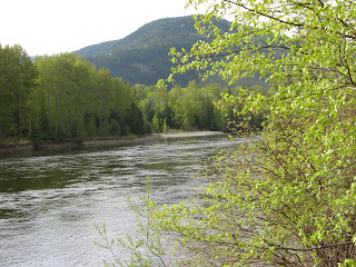
| A view over the Lower Thompson River |
At Little Fort we saw an elk or some class of a deer with antlers but I was too slow to get a photo.
The deer scrambled up here in a frantic effort to avoid being photoed!
Close to Barriere we saw 2 goshawks. In this area it was flat farmland surrounded by rolling hills. They grow ginseng in this area too - we knew from the tarpaulin covering large areas of the fields and anyway Gypsy told us!
In 2003 there were huge forest fires in the area around Barriere due to the arid conditions. They completely destroyed one lumber business and resulted in lots of the locals leaving Barriere to look for new jobs.
 |
| A view of some of the dead/burnt trees in the Barriere region along Louis Creek |
 |
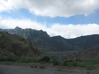
| Arid conditions around Kamloops. |
 |
| Turquoise Lake! |
 |
| Pavilion Lake. |
Next we were back to the Fraser River Canyon which reminded me of the Copper Canyon in Mexico though on a smaller scale.
At this stage Jim admitted that this was a much trickier drive than anything we had experienced so far. The road was ok but not as good as the roads in the Rockies.

This photo should give you some idea of what it was like.
 |
| Another view of the area. |
 |
| And another |
If you look carefully at what looks like a hole in the rock face just left of centre you will see (imagine?) a railway tunnel.
 |
| And this is the tunnel from the other side, slightly right of centre. |
And there's snow here too eventhough it's not the Rockies!
 |
| Can you see the snow in the distance just up against the clouds? |
 |
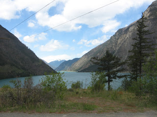
| Another colorful lake - Seton Lake. |
Now we moved into the Coyoosh Canyon where there was much more evidence of snow. In front to the left was Fountain Ridge where someone discovered Ice Caves. The story was that someone who lived at the base of Fountain Ridge was digging a hole to create a\ larder/store for food during very hot weather. While he was digging in temperatures around 40 degrees C he got very cold and went inside to get a sweater. When he came out the hole had filled with ice. He made a fortune selling ice during the hot weather!
We passed on into Coyoosh Canyon and drove along Duffey Lake.
Duffey Lake was still frozen in places.
And the Cayoosh Range of Mountains was snowclad.
We had our lunch in Pemberton. Soup in British Columbia is excellent we have discovered and not limited to vegetable soup which is the ubiquitous lunchtime soup in Ireland. Jim had goulash soup and I had broccoli. Other soups sampled on other occasions were tomato and basil, cauliflower and bacon, mexican chowder and creamy turkey - all good homemade versions!
When we arrived in Whistler it was clear that it is a winter sports resort and winter sports were not yet over as we could see people skiing on Blackcomb Mountain. On Mount Whistler the slopes were still snow covered a lot of the way down but it looked as if they were closed.
 |
| Black Tusk Mountain just past Whistler, called by the first nation The Landing of the Thunderbird. |
 |
| You can just about see the Cheakamus River. |
 |
| The Tantalus Range. |
This road that we were on from Whistler to Vancouver is know as the Sea to Sky Drive only we went from sky to sea. We had now reached the coast and drove along Howe Sound. This is a very scenic road but hard to get an opportunity when driving to get an unobstructed photo. Anyway, these are what I got with my limited skills.
 |
| Views along the coast of Howe Sound. |
What a day! What a road trip! And we have so much else ahead. Today, however, blogging, housekeeping, washing, ironing etc.


No comments:
Post a Comment